Quick answer
Most Tofino-area hikes are short, between 500 m and 3 km. Top picks are the Rainforest Trails A and B (1 km loops through old-growth forest), the Tonquin Trail from town to Tonquin Beach, the Nuu-chah-nulth Trail and Halfmoon Bay. Check Parks Canada’s trail conditions page before you go: some trails are closed or have limited access, and a wolf warning was in effect in the park as of November 2026.
Trail comparison
| Trail | Length | Highlights | Where |
|---|---|---|---|
| Rainforest Trail A | 1 km loop | Boardwalk, giant cedars and hemlocks | Pacific Rim (Long Beach Unit) |
| Rainforest Trail B | 1 km loop | Second loop, same old-growth forest | Pacific Rim |
| Tonquin Trail | 3 km + 800 m boardwalk and stairs | Old-growth forest to Tonquin, Third and Middle beaches | Tofino |
| Nuu-chah-nulth Trail | 2.5 km one way | Nuu-chah-nulth cultural themes; steep 70 m ramp | Pacific Rim |
| Halfmoon Bay | 1.8 km one way | Long staircases to a remote beach | Pacific Rim |
| Willowbrae | 1.4 km one way | Historic route used before the 1942 road | Pacific Rim |
| Shorepine Bog | 800 m loop | Floating boardwalk, stunted “broccoli forest”, no stairs | Pacific Rim |
| Radar Hill | 500 m, very steep | WWII radar site and Kapyong memorial | Pacific Rim |
| Combers Beach | 500 m | Short trail to the beach | Pacific Rim |
| Big Tree Trail | Boardwalk (length varies by source) | Ancient cedars on Meares Island; boat access | wanačas hiłhuuʔis Tribal Park |
Swipe the table sideways to see all columns. Lengths from Parks Canada and the District of Tofino.
Check status before you go
As of November 2026, Parks Canada listed Shorepine Bog and Willowbrae with limited access, and Schooner Cove and the Former Gold Mine Trail as closed. Status changes often; see the trail conditions page.
Rainforest Trails A and B
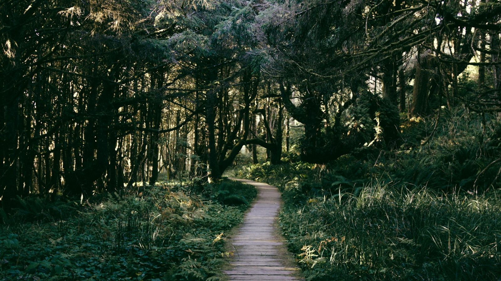
These two 1 km boardwalk loops are the easiest way to see old-growth temperate rainforest, with huge western red cedars and hemlocks. Expect stairs and slippery boards when wet.
Tonquin Trail
Starting in town, this gravel trail runs about 3 km through old-growth forest, with around 800 m of boardwalk and stairs down to Tonquin, Third and Middle beaches. There are washrooms at both trailheads, and it’s a great pre-sunset walk.
Nuu-chah-nulth Trail
A 2.5 km one-way trail with interpretive themes about Nuu-chah-nulth culture, including a steep ramp of about 70 m.
Halfmoon Bay and Willowbrae
Willowbrae follows a historic route used before the road arrived in 1942; together with the stairs down to Halfmoon Bay it reaches a quiet, remote beach. Be ready for long staircases on the way back up.
Shorepine Bog
An 800 m loop on a floating boardwalk with no stairs, through a bog of stunted trees Parks Canada calls a “broccoli forest”. It’s one of the more accessible trails when open.
Radar Hill
A short but very steep path to a Second World War radar site with views over Clayoquot Sound and a memorial to the Battle of Kapyong.
Big Tree Trail on Meares Island
Meares Island (wanačas hiłhuuʔis) was declared a Tla-o-qui-aht Tribal Park in 1984. The Big Tree Trail is a boardwalk through ancient cedars, reached by a 10–15 minute water taxi from Tofino. A Tribal Park fee applies through operators, and access can change, so confirm with Tla-o-qui-aht Tribal Parks or a local water taxi before going.
Nearby: Ucluelet’s Wild Pacific Trail
About 40 km south in Ucluelet, the Wild Pacific Trail’s Lighthouse Loop (about 2.6 km) and Ancient Cedars Loop (about 1 km) are worth combining with a day in the park.
Wildlife safety
- Parks Canada issued a wolf warning for the Long Beach Unit in September 2025, and it was still listed in November 2026.
- It is illegal to approach within 100 m of a bear, cougar or wolf in the park, except from a legally parked vehicle.
- Dogs are banned in parts of the park and must be leashed where allowed. See Parks Canada’s dog rules.
- If you meet a wolf, don’t run or crouch. Pick up small children, back away slowly and make yourself look big. Hike in groups.
What to wear and pack
- Waterproof jacket and shoes with grip (boardwalks get slippery)
- Layers: it’s often cool and damp under the canopy
- Water and snacks
- Headlamp if you might be out near sunset
- A Parks Canada pass for parking at park trailheads
Combine a hike with a beach: see our guide to the best Tofino beaches, or browse things to do in Tofino.
Sources checked November 2026: Parks Canada, District of Tofino, Tla-o-qui-aht Tribal Parks. Trail status changes; confirm before hiking.
Travel rules, prices and product details change. Check official government, airline and manufacturer sources before you book or buy.